Te Pane a Mataaho
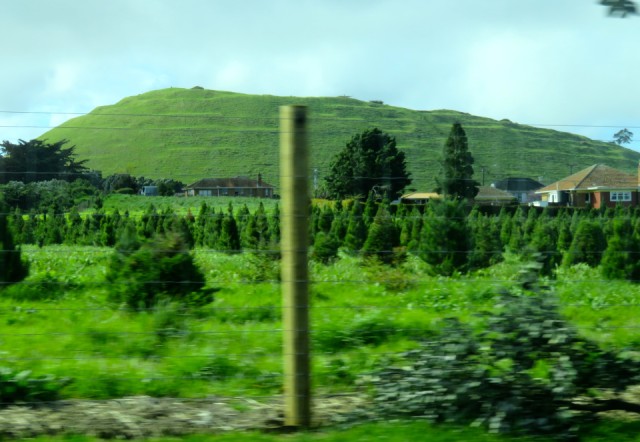
Mangere Mountain is the largest and best preserved volcano in the southern part of the Auckland Volcanic Field. A 106 metre high scoria cone was produced by fire-fountaining from the huge crater. There are two distinct high points; one to the south (shown in my photo taken from the taxi back from the airport this afternoon) and the other to the northwest (behind this peak on this view). These peaks were extensively terraced by Maori, and were defended as two distinct and separate pa.
Te Pane a Mataaho (the sacred head of Mataaho, the god of volcanoes) is the name given this volcano by Maori. The area around the base of the volcano was called Nga Hau Mangere by Taikehu of the Tainui waka (canoe) who observed “lazy breezes” when he landed here more than 600 years ago.
This volcano threw out lava and ash which together covered a large area around the crater and cone, forming the base for the land which is now occupied by the village of Mangere Bridge on the edge of the Manukau Harbour. The original bridge (Mangere Bridge) which crossed the Manukau River estuary, at a point to the east of the volcano, joined the towns of Otahuhu (southeast of Mangere Bridge) and Onehunga (across the harbour to the north) has recently been replaced by a larger bridge when the south-western motorway was built. The old bridge is now used by people fishing or walking across.
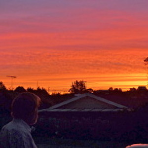
Back home after the completion of the meeting, and I’m looking forward to four days to myself and family before returning to work.
Comments
Sign in or get an account to comment.


