
Postcard from Lyttelton
The day started of cloudy and by the afternoon the sun was shinning and it got a little warmer with around 21c.
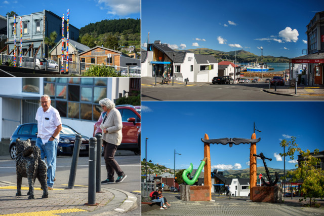
John asked if I would like to go for a trip over to Lyttelton by bus. The bus was leaving in around 15 minutes. So it was a quick change and out the door. We took the car near the bus stop as I just couldn't have walked all that way.
It was lovely having a look around Lyttleton. We got the bus back to the city and after a walk though the city we had a meal near by were we used to live, before catching the bus back home again.
About Lyttelton
The town sited on the steep sides of an extinct volcano, above the port at Lyttelton Harbour. It is 12 km south-east of Cathedral Square in central Christchurch, via the road tunnel through the Port Hills, opened in 1964. In 1850 Lyttelton was a town of about 300 when the site of Christchurch was still bare plain, but Christchurch overtook it during the 1850s. The town’s role as the region’s port was assured with the opening of a rail tunnel in 1867. Large reclamations, for petroleum storage tanks in the 1920s and the Cashin Quay container berth in 1965, ensured the port’s importance. A new container terminal was opened in 1977. Lyttelton was close to the epicentre of the magnitude 6.3 earthquake that devastated Christchurch on 22 February 2011.
After European settlement the township and harbour had several names bestowed on them until the final decision to honour Lord Lyttelton, a staunch supporter of the Canterbury Association.
Here is more information on Lyttelton and also some photos
Comments
Sign in or get an account to comment.


