
Meola Reef
Meola Reef, named by Maori as Te Tokaroa [The Long (roa) Rock (toka)], is a lava flow extending 2 km into the Waitemata Harbour. It was formed more than 28,000 years ago when Tikikopuke (Mount Saint John) erupted, and an 11 km long lava flow crossed part of the isthmus to flow into the harbour. In 2008, geochemical analyses revealed that the origin of the lava flow was Tikikopuke rather than (what had previously been thought) Te Tatua a Riukiuta (renamed Three Kings by Pakeha settlers).
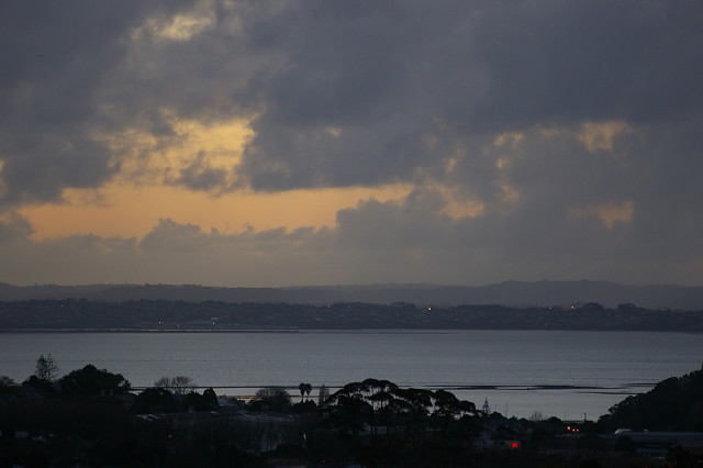
In this view, at this time (mid tide) the reef is seen as a series of apparently disconnected rocky strips in the water. At low tide the connection is more readily seen. At high tide, the reef is not visible.
To the left (behind the trees and hill of Westmere) the largest part of the reef is unseen from our apartment. There the reef is broad and is in fact a peninsula covered in mangroves at the water edge, and large areas of grass, where dogs are exercised, and humans can exercise themselves on the reserve land.
This photo was taken about 20 minutes after sunset, and the sky was still a gentle apricot colour. This was the only chance I had today to use a camera. It repays looking at it large.
Comments
Sign in or get an account to comment.


