
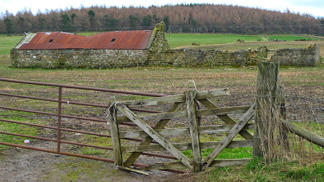
Ruined Farm Building, Millbank, Aberdeenshire
This ruined structure stands in a field a few metres to the east of the B993 road, a couple of kilometres south of its junction at Millbank with the main A944 Aberdeen-Alford Road.
It is actually shown on the 1:50000 Ordnance Survey Map of the area, where it is not named but is annotated '235' meaning 235 metres above sea level. Presumably there is an OS Benchmark cut into the stonework somewhere on the structure - something I may investigate next time I'm passing.
Comments
Sign in or get an account to comment.


