
The old fashioned way....
When I first started driving I used paper maps and payphones.. After about a year, I got my first cellphone - it had a whole 15 minutes of talk time on the battery - most of the time you use the cigarette lighter auxiliary socket on the truck though. It also had a whopping 2400 bps modem to connect to BBS boards or what was the internet at the time.
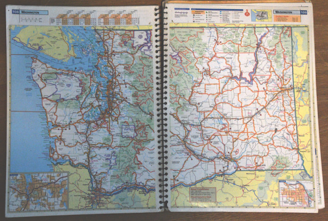
I had amassed several hundred dollars of paper maps in the truck when in 1999, my sister gave me this laminated atlas. It has all the truck routes, the chicken houses, weight / height restrictions and... across the USA. One night in Denver when it was snowing, I was going to a place that I hadn't been before - I had directions and had seen the map of the type of road it was supposed to be - the streets signs were covered in snow though. From memory and a little bit of a guess, I turned on the right road - shortly after, I bought my first car GPS as the truck GPS was unaffordable to me.
Fast forward to today and the company I work for has a truck GPS for every driver - so I don't have one, nor do I have a smart phone. When planning where I was going on Saturday, I used this 22 year old map as a guide..
Car passed everything with flying colors, still a few side affects from the shingles shot but doing well otherwise (as long as I don't take stairs) One more day of rest and then...
Comments
Sign in or get an account to comment.


