
Drowned landscape
Went to a talk last night about the mesolithic period in Orkney and the changes of landscape from the period after the last ice age until the neolithic.
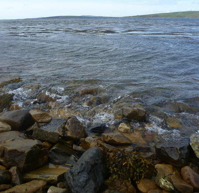
Sea levels were much lower and lots of sites and finds from this era are thought to be below the sea now just off shore. As I do like a good map I was fascinated by the changing shape of the coast line. In the mesolithic the area of Scapa Flow in my pic would have been more of a marshy tidal area linking what are now the islands of Burray and South Ronaldsay. Must have been a great spot for hunter gatherers to, well.... hunt and gather.
Today it's a good spot to stop on a bike ride and shelter behind a large pebble from the driving wind and try to imagine what it would have looked like thousands of years ago.
Comments
Sign in or get an account to comment.


