
Map
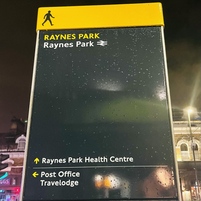
I took this picture as I was coming back from the supermarket. I had to pick up a couple of items for our trip next week. Walking back home I passed some street works where it looks like Thames Water are adding or upgrading water pipes. But as I was wondering if I could take a good picture of roadworks, I saw this map and I wondered how long it has been here. My daily picture from the 20th January, which is looking towards the station, does not seem to show it. I am assuming it is relatively recent. It’s one of those wayfinding maps that have been around Central London for a long time but it’s interesting that they’ve decided to put a local one out. I am not sure any of the places listed qualify as attractions. It’s been raining for a lot of the day but the picture makes it look like there are only a few drops.
Comments
Sign in or get an account to comment.


