
The Ordnance Survey
In 1745 they were singing an additional verse to the National Anthem - "God save the King".
Lord, grant that Marshal Wade,
May by thy mighty aid,
Victory bring.
May he sedition hush,
and like a torrent rush,
Rebellious Scots to crush,
God save the King.
Field Marshal George Wade was gathering his troops at Newcastle preparatory to giving the "rebellious Scots" a good kicking!
Once that was accomplished Lieutenant-Colonel David Watson proposed the compilation of a map of the Scottish Highlands to facilitate the subjection of the clans following the Jacobite rising. In response, King George II commissioned a military survey of the Highlands, and Watson was placed in charge under the command of the Duke of Cumberland. This work was the starting point of the Principal Triangulation of Great Britain (1783-1853), and led to the creation of the Ordnance Survey itself.
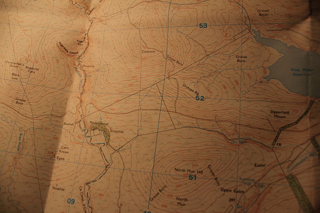
A loooooong time since, in good old scouting days, I must have spent hours in the middle of nowhere with an OS Map to hand wondering which way next. This map is from the Explorer Series 1:25000. Nowadays maps like this are pretty obsolete - now you can buy your custom-made, digital mapping miracle on line!
Maps may have become Geographic Information Systems (GIS) but I still don't know which way next.
362
views
- 0
- 0
- Canon EOS 550D
- 1/50
- f/5.0
- 18mm
- 100
Comments
Sign in or get an account to comment.


