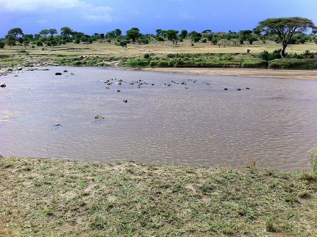
Mara River, Tanganyika
In 1890 the Heligoland-Zanzibar Treaty demarcated the boundary between the German Empire and the British Empire in Africa.
In particular it exchanged the hard to defend island of Heligoland off the German Coast which had been British since 1814 for Zanzibar, which was immediately declared a British Protectorate.
It also set out the rough - and as yet unsurveyed boundaries between the two imperial powers in Africa - in Togoland, South West and East Arica. This enabled the British to build inland what became the Uganda Railway to Lake Victoria, and the Germans to establish German East Africa with its capital at Dar es Salaam.
With typical arrogance of the time and disregard for the inhabitants of the territories concerned, the boundary was drawn on empty maps of unsurveyed territory ran slightly north of here. It bisected Masai lands, in what is now the Serengeti.
This is a picture the Mara River (in what is now the Serengeti) with hippotatmus acting as quite effective border guards for both animals and men.
383
views
- 0
- 0
- Apple iPhone 4
Comments
Sign in or get an account to comment.


