Law Kneis
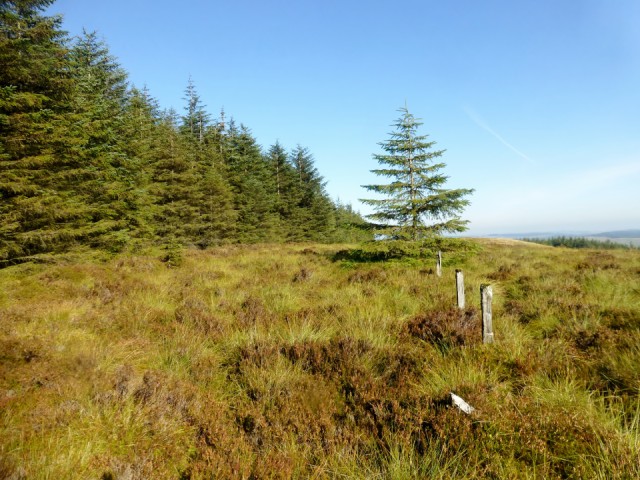
Bagged with Smudge after crossing the burn we took the upper waymarked path heading south and after a while headed straight up through the trees to hit the forest road which was followed E until it crosses the sike. Just beyond a narrow and vegetatious fire break (occasional fence remains) takes a direct line for the summit.
Name: Law Kneis
Hill number: 1930
Height: 498m / 1634ft
Section: 28B: The River Tweed to the English Border
County/UA: Scottish Borders (UA)
Class: Marilyn, Hump, Tump (400-499m)
Grid ref: NT 29274 13080
Summit feature: no feature
Drop: 189m
Col: 309m NT302123
Observations: note that mound 5m N although higher is spoil from nearby ditch: tiny cairn 110m ENE at NT 29382 13125 is lower
Survey: Abney level
184
views
- 0
- 0
- Panasonic DMC-TZ30
- 1/500
- f/4.0
- 4mm
- 100
Comments
Sign in or get an account to comment.


