
Maps
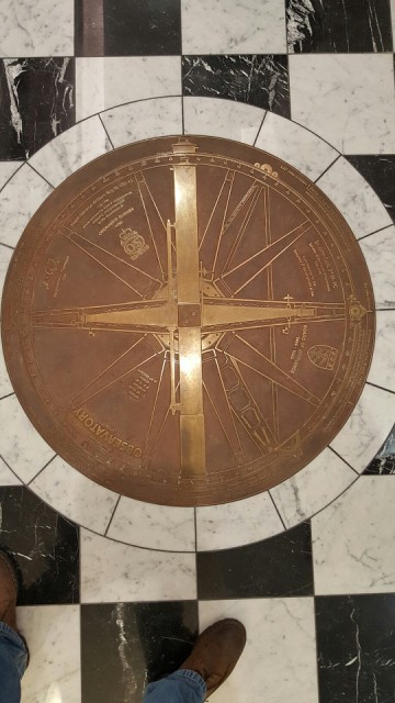
The first official maps of the UK were creating in the 18th century from 10 argyle Street in London. I've never even notice this building before and a must have walked passed it 100s of times. There were also fantastic paintings and drawings from the time in the hall ways of the office.
Comments
Sign in or get an account to comment.


