
Inverlochy
Literally, the mouth of the River Lochy.
The lower reaches of the River Nevis and River Lochy used to run roughly parallel for perhaps 700 metres before entering the sea at the same point. On Google Earth the original Nevis river bed is still perceptible next to the college building and the apparent needless short bridge section of the diving school pier was there to accommodate its passage. The Nevis was shortened by civil engineering intervention to enter the sea at Inverlochy in the seventies (I think). At high tide it looks like it is entering the sea and at low tide it looks like it is decanting in to the River Lochy.
The land released by the shortcut was originally the Fort William dump and was remediated to have a large shinty pitch, housing and retail units built over the 80s and 90s.
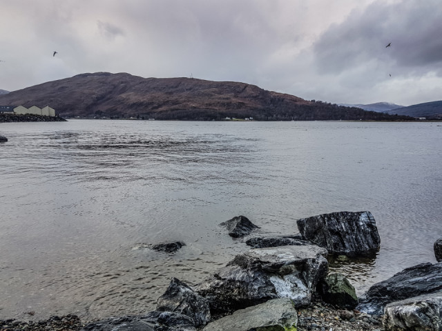
I was dropping in to see my parents today but they weren't in. I hung around for ten minutes in case they were about to return and had a wee walk down to the confluence described above. The Nevis is coming in on my left and the Lochy on my right in the image. Native to Inverlochy, when I was wee used to fish here for sea trout and mackerel.
It was a mixed day of desk stuff, frantic errands and organising stuff for January.
Comments
Sign in or get an account to comment.


