
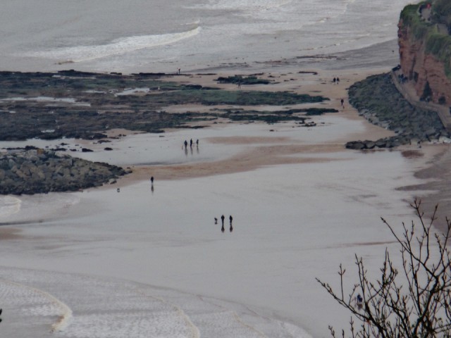
Coastal path
Knowing that we were coming to Sidmouth I had been researching things to do. One of them was a coastal walk to the donkey sanctuary and back.
David always liked to use a ordnance survey map and wherever we went we bought the map for that area. I do understand why it is useful to have a map but you still need to know where you are on the map. I’d downloaded the ViewRanger app and the map for the area. It was really useful as it had the details of the ordnance survey map but it also knew where we were.
The walk was difficult in places with long climbs and mud but it was great to get to the donkey sanctuary and see them all. I Roding some time stroking one. I’d always wanted to go there.
When we returned to Sidmouth we had walked over 12km.
It’s a really lovely place. Everyone is very friendly.
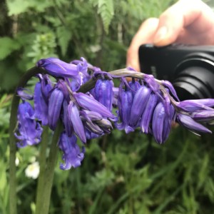
The extra is HtP trying to take a photo of a bluebell. There were loads in the hedgerows.
Comments
Sign in or get an account to comment.


