
Tubbs Lane
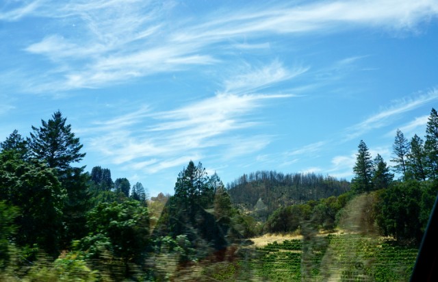
Going to Diavola for lunch in Geyserville has become almost a pilgrimage when Rick and Meg are here, so we headed up there today. This is an odd photo taken from the moving car, but I liked the way the trees stand out in an almost delicate filigree against the sky, marking the ridge as well as the path of the fire. We took the direct route up through Fountaingrove and up Highway 101, but we returned on the scenic route via Alexander and Knight's Valleys and Calistoga Road. Not for those prone to motion sickness, but very revealing of the extent of October's fires. We are well aware of all the damage on our side of the hills, but this is the first time we have seen the somewhat remote setting where it began....
The lines of the vines are certainly in sharp contrast to the lines of blackened burnt trees marching along the top of the hill in Calistoga. This is very close to ground zero for the Tubbs Fire which roared over the Mayacamas Mountains, which separate Sonoma from Napa county. There are signs of rebuilding in a few places, but progress is slow and the extent of the damage seems to stand out even more as we approach another fire season.
As if we were likely to forget, PG&E, our power company is everywhere, checking lines, putting up new poles, monitoring transmission and sending notices regarding intentional power outages in case of critical fire emergencies. They are being held responsible for fires which I feel could only be called an act of God. They worked tirelessly beside the firefighters to keep the power on in many areas and restore power to those directly affected, but I suppose they have deeper pockets than the cities and counties if not the insurance companies.
I keep saying that I won't write about the fires anymore, but the reminders are everywhere even as life goes on....
Comments
Sign in or get an account to comment.


