
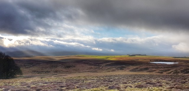
Moorland
Oft referred to as The Common, The Scar or the Open Land, but it has a distinct feel of the Moor to me.
For a local each of those names would have subtle hew, The Scar is North West of the Knott and due West of Shining Stones, the Common lies to the East, bounded by the Wath and Cowdale. But much like Tolkien's Shire I can walk across all of it in a lazy morning. Each 1 kilomètre ordnance survey grid square will contain at least half a dozen names. Some of local significance, some factual, some mythical and many simply lost to the mists of time*. It's a good place to pause and ponder.
Or to run like a lunatic if you're of the puppy persuasion.
Having grabbed the best of the day the rest was taken up with replacing internal door locks, adding more safety catches, and a reversible bathroom lock. It all distracted me admirably from the lurking lurgy.
*Great Ewe Fell and Little Ewe Fell,
Little Kimond, Muddy Gill Plain, Castle Folds settlement, Mitchell's Stone.
Comments
Sign in or get an account to comment.


