
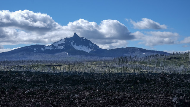
Lava field, burned area, Mt. Washington
On the McKenzie River Scenic Byway. About 5,700 feet elevation at the pass where I made the photograph. The elevation of Mt. Washinton is 6,288 feet.
Grist magazine has published a map of the USA in 2035, based on projections of climate change. Sue's blip, a closer view of this area, shows what we can expect. Of course projections are just that: projections. Ideas. Not realities. But being in denial of those possibilities is what got us in the mess we are in now.
Those of us in Oregon are in no doubt that forest fires are coming more often than in generations before now.
Comments
Sign in or get an account to comment.


