Tegg's Nose
Out with Paul on our weekly geocaching expedition to East Cheshire. Once again we started at Langley, walked up Tegg's Nose and then round into Macclesfield Forest and back to Langley although it was quite a convoluted route we took. In total we walked 12 miles and found 35 caches.
There was plenty of up and down and I'm aching now but it was the furthest we have walked so far and I am probably a bit fitter than I was when we started doing these trails.
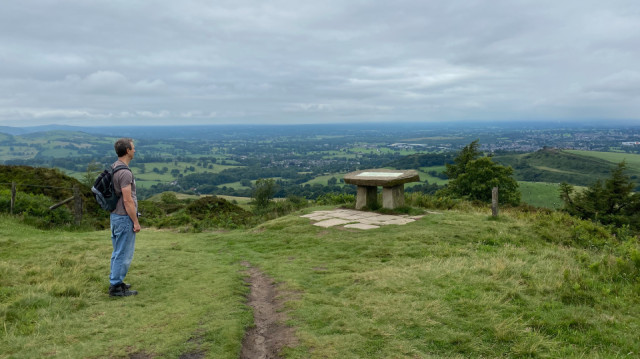
The picture was taken on the top of Tegg's Nose which at 380 metres was, the highest point of today's walk. I just had a look and early maps show the area as Tegge's Naze. Tegge may have been the name of an early Norse Settler while the naze or nose means promontory. Alternatively it may be that the hill originally looked like a sheep or 'leg'.
Comments
Sign in or get an account to comment.


