
Seven Dials
Seven Dials is located between Covent Garden and the West End of London.
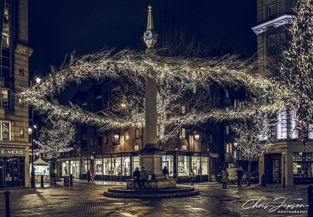
The original layout of the Seven Dials area was designed by Thomas Neale during the early 1690s. The original plan had six roads converging, although this was later increased to seven. The sundial column was built with only six faces, with the column itself acting as the gnomon of the seventh dial. This layout was chosen to produce triangular plots, in order to maximise the frontage of houses to be built on the site, as rentals were charged per foot of frontage rather than by the square footage of properties.
By the 19th century, Seven Dials was among the most notorious slums in London, as part of the slum of St Giles.
The area was described by Charles Dickens during 1835:
... streets and courts [that] dart in all directions, until they are lost in the unwholesome vapour which hangs over the house-tops and renders the dirty perspective uncertain and confined.
In his collection Sketches by Boz (see extra), Dickens remarks,
The stranger who finds himself in the Dials for the first time...at the entrance of Seven obscure passages, uncertain which to take, will see enough around him to keep his curiosity awake for no inconsiderable time...
The poet John Keats described the area as the last resort for the poor and the ill.
... where misery clings to misery for a little warmth, and want and disease lie down side-by-side, and groan together.
The relatively low status of the location is also stated by W. S. Gilbert in the operetta Iolanthe:
Hearts just as pure and fair
May beat in Belgrave Square
As in the lowly air of Seven Dials.
It remained a byword for urban poverty during the early 20th century, when Agatha Christie set The Seven Dials Mystery (1929) there.
Comments
Sign in or get an account to comment.


