
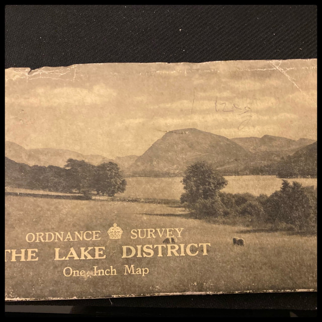
1948 Lake District OS map
Found this as I was going through the maps in my bookcase, I bought it in a secondhand bookshop in The Piece Hall in Halifax many years ago.
I love maps, and can sit and study them for ages. I find them very comforting and get totally engrossed in them.
This one is rather special, it’s a 1949 OS one inch map of the Lake District. It was printed before either the A66 and the M6 were even thought of.
I love looking at it and comparing the then and now of the area. Wrynose and Hardlnott passes are both classed as bridleways on it!
I have often considered getting it framed and put on a wall.
84
views
- 8
- 0
- Apple iPhone SE (2nd generation)
- 1/30
- f/1.8
- 4mm
- 640
Comments
Sign in or get an account to comment.


