
2016-06-14 (Day 166) Trig Point
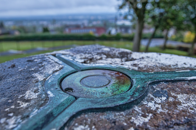
Triangulation stations ,or trig points, were introduced in the UK in 1935. Over the years they spread throughout the country, often on hilltops. Surveyors could use them to map their position relative to one another very accurately, as each point was placed to have direct line-of-sight to two others, and each trig point contains mounting brackets for a theodolite or a reflector.
This is trig point S4820 - Wallacestone - full information about it can be found at https://www.ordnancesurvey.co.uk/gps/legacy-control-information/triangulation-stations
Trig points have been largely superseded by digital mapping techniques, GPS and satellite surveying. But for many a tired hillwalker, they still represent a marvellous opportunity to stop, reach into the backpack and get the sandwiches out - so synonomous are they with the peak of the hill!
74
views
- 0
- 0
- Canon EOS 5D Mark II
- 1/25
- f/5.0
- 19mm
- 800
Comments
Sign in or get an account to comment.


