Tidy up
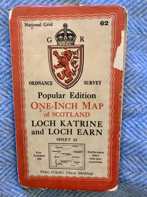
I’ve inherited some old cloth maps that belonged to my father in law. They cover some of the popular tourist spots in Scotland - the Trossachs, Skye, Glencoe and Perthshire.
When I started walking in the early 70s we used inch to the mile paper maps that in some areas (especially remote parts of the NW) appeared inaccurate in terms of contours and hill detail. From there we progressed to the 1:50000 maps which I still use, although thanks to the wonders of technology I can carry the entire OS map of Scotland on an app on my phone. I still carry a paper map though for backup or on the frequent wet days when I can’t properly see my phone.
Comments
Sign in or get an account to comment.


