
Flow Charts
I read Ross Gibson’s essay on Alexandria soon after moving here. He opens with the story of the group of convicts who set off from Farm Cove in January 1788 to walk the 17km to Botany Bay, planning to stow away on the French ships anchored there. Gibson thinks they would’ve stuck to the low sandy soils that flow south-east through what is now Alexandria rather than track east along the harbour and around headland after headland to the south.
Other flow charts in Alexandria: traffic on arterial roads, the drift of chemical toxins in the water table, corruption and criminality, some of it personal.
Gibson walks his greyhounds around Alexandria at night, stopping wherever he is at 10:48 to take a photo.
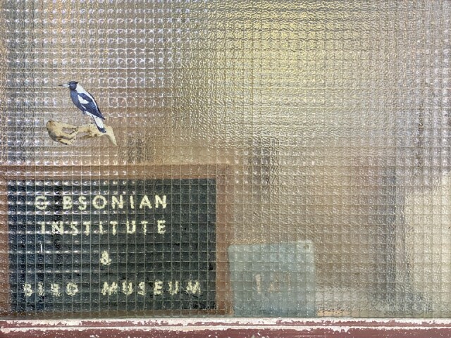
Today, meandering from Rosebery back through Waterloo and Redfern, I accidentally found his house, a former factory only as wide as a door and three of these windows.
It’s neither an institute, nor a museum.
Thanks for hosting KangaZu in memory of Admirer.
Comments
Sign in or get an account to comment.


