Great Western Railway Boundary Stone
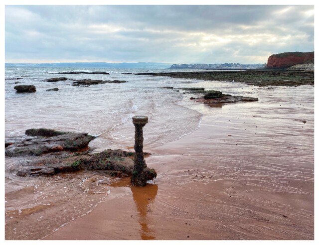
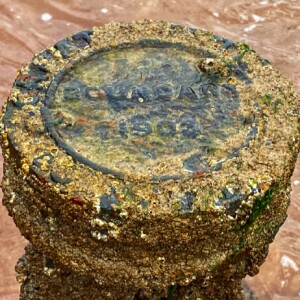
We diverted to Hollicombe Beach on our walk today. The stream which flows into the sea here is the dividing line between Torquay and Paignton. Haven’t been here for ages, and I don’t think I have ever seen the boundary marker revealed by the low tide. Not all the letters are visible but research, and my mate John, tell me it is a Great Western Railway boundary marker. The railway line follows the edge of the coastline, and the beach is accessible through a tunnel under the line. The beach is also known as Gasworks Beach because the gasworks were on the other side of the tunnel. It acted as an unloading point for ships bringing coal to the gas works which served the two towns from 1861 until the 1970s. John tells me you can easily find these markers on dismantled GWR lines.
Definitely a hazard for swimmers though, who would not be impressed by the history. The question remains - why is it in the sea?
See extra for the GWR lettering
Comments
Sign in or get an account to comment.


