Further Exploring
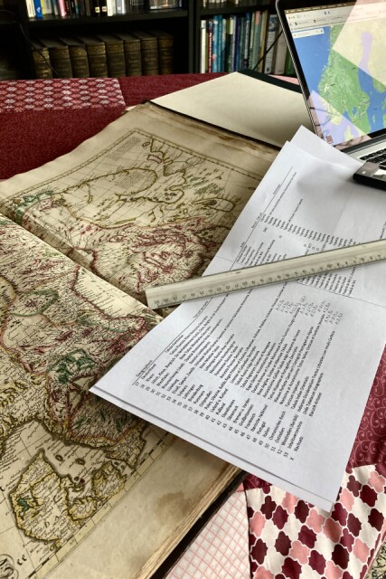
…the 17th century atlas, made in Amsterdam, and consisting of 52 maps. I have used this week’s holiday to make an Excel list with the map sections, printing style, and their authors (most of them are by Frederik de Wit).
Momentarily I’m working out the single maps’ scales which is sometimes tricky because of different places names (historical versus modern) are to be found on the maps.
From time to time I plan to photograph one or another map and post it.
Comments
Sign in or get an account to comment.


