
lightly rippled
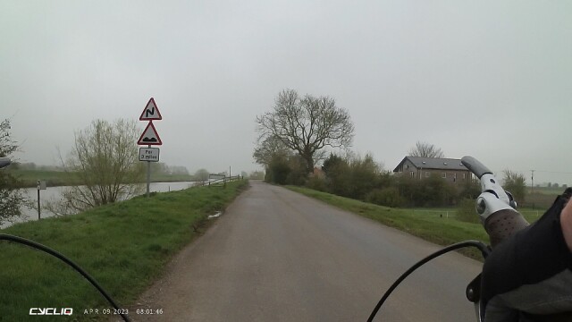
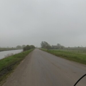
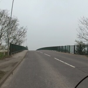
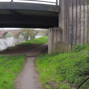
From a suitable vantage point, in the right conditions, the level of the Witham is clearly above the fenland to the west. Edge down the bank of one of the drainage/irrigation dykes between the fields and your feet can be below sea level. Ideally, I would have been able to see Lincoln Cathedral, the former sugar factory (now apparently Ryvita) at Bardney, the water tower at Billinghay, Tattershall Castle, Kirkstead Abbey, the Boston Stump and Pilgrim Hospital, the very slight rise in the landscape to the northeast and (on a clear day) the antenna just shy of Fulletby Top. Despite the crap surface and occasional speeding moron I frequently went this way to Tattershall rather than along Lodge Road, or just went across Kirkstead Bridge and along the bank for the sake of it. sometimes going the other way a bit then perpendicular to the river to Blankney, then through Martin and down the surprisingly whooshy slope to Timberland, then back through Thorpe Tilney to the same riverbank a bit futher south. The next bridge, linking Tattershall to Billinghay a few miles so the south, was updated during our time here, with the nice old brick bridge remaining in place but being bricked-up on the east bank. This morning I west straight along the bank to Tattershall Bridge, then through Tattershall past the castle, through Conningsby past Barker's, along the Horncastle road to Toft Hill (26m, but you take what you can get round here) then turning off at Haltham, turning off again at Kirkby then heading home. Later, we walked with the kids through the main woods, the partially-restored Ups and Downs, round the back of the Tea House to the Bales (checking that the unexplained Argos Container was still there) then past the relatively new gated community off Monument Road.
Comments
Sign in or get an account to comment.


