
Map my walk
Took Reggie up on the moor this evening. He was limping a bit yesterday so we didn't take him out, and we knew about it today!
I uploaded an app on my i-phone called map my walk today , which works by tracking the GPS signal. I used it walking Reg and it is great. I walked 3km , starting at 250m above sea level and rising to 286m at the highest point. not sure what time I did it in as I messed it up a bit when I paused it to take a photo!
Looks like I'll have great fun with it though, and am looking forward to using it tomorrow.
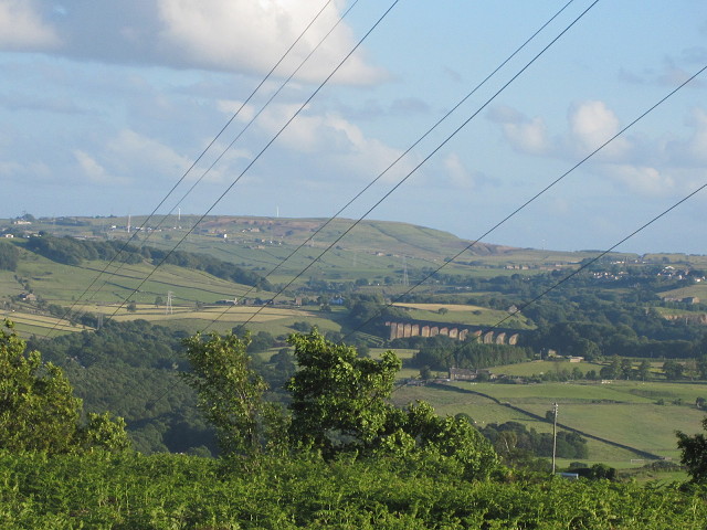
Not the greatest blip ever, but you can see Denholme and Harecroft beyond the viaduct, and several wind turbines, and the power lines that criss cross this wonderful landscape.
Comments
Sign in or get an account to comment.


