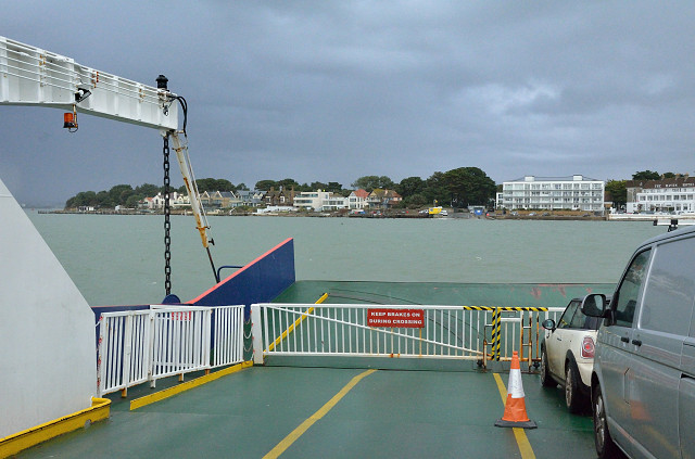
Poole Harbour: the "Bramble Bush Bay" chain ferry
This photo looks across the narrow (well, fairly narrow) Poole Harbour entrance to the southernmost tip of Sandbanks.
Old maps of this part of Dorset are full of arcane place names and unlikely information. A map produced a mere 300 or so years ago shows that the entrance to Poole Harbour was very different to its present configuration. Stretching the several miles from Studland to Canford Cliffs was an archipelago comprising dozens of sandbanks, large and small. Today two long sand spits almost enclose the harbour.
A photo in a magazine printed in the very early 1900s shows a substantial beach plus a good number of bathers at the southernmost tip of Sandbanks, i e the along the coastline shown in this photo. Where has it gone?
Land in Sandbanks is today the fourth most expensive real estate by area in the world. This is just baffling.
Photographed on a filthy, schizophrenic day with wild mood swings between hail, torrential rain and bright sunshine. Just look at that sky!
PS: Doesn't the Bible has some pertinent comments about those who build their houses on sand?
Comments
Sign in or get an account to comment.


