
National Park
The Brecon Beacons National Park was established in 1957, the third of the three Welsh parks after Snowdonia in 1951 and the Pembrokeshire Coast in 1952. It stretches from Llandeilo in the west to Hay-on-Wye in the northeast and Pontypool in the southeast, covering 519 square miles (1344 km², 332 100 acres) and encompassing four main regions - the Black Mountain in the west, Fforest Fawr (Great Forest) and the Brecon Beacons in the centre, and the confusingly named Black Mountains in the east. The western half gained European and Global status in 2005 as Fforest Fawr Geopark. This includes the Black Mountain, the historic extent of Fforest Fawr, and much of the Brecon Beacons and surrounding lowlands.
The entire National Park achieved the status of being an International Dark Sky Reserve in February 2013.
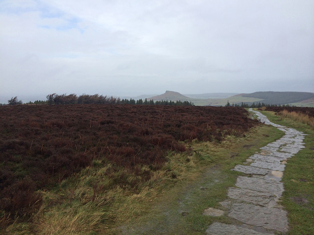
Most of the National Park is bare, grassy moorland grazed by Welsh mountain ponies and Welsh mountain sheep, with scattered forestry plantations, and pasture in the valleys. It is known for its remote reservoirs, waterfalls including the 90 foot (or 27 metre) Henrhyd Waterfall and the falls at Ystradfellte, and its caves, such as Ogof Ffynnon Ddu. The Brecon Beacons Mountain Centre was opened in 1966 to help visitors understand and enjoy the area.
Comments
Sign in or get an account to comment.


