
General Wade's Military Road
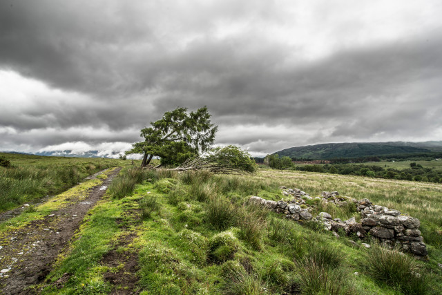
Working quite close to home again today. When I had packed the kit up I has a quick walk along this track near to our site.
Quite often when driving through the Highlands you can see overgrown scars on the adjacent hill side or old stone bridges apparently not connected to any route and you know that is the “Old Road”. In this context you are still referring to an alignment that once conveyed road vehicles with engines.
This track was, if you like, the original A82 connecting Fort William and Inverness. At construction I doubt it carried that alpha numeric naming convention that is common on road signs now. It is a very old road dating I guess from around 1730. Irishman, General Wade, built roads and bridges in the Highlands between 1724 and 1740. The purpose of the new roads was not to promote trade and economic growth but to be able to convey government soldiers swiftly , post 1715 rebellion, to “impose authority” in areas of unrest.
If you look at the map of Scotland and focus on the broader Lochaber area it would be very convenient to drive directly from Laggan (near Newtonmore) to Fort Augustus. Such a paved highway does not exist yet a General Wade road took this very route through the Corrieyairrick Pass back then. You can still walk this track but currently the tranquillity is wrecked by the huge civil engineering project to reinforce the Beauly – Denny power line. You can see some of the vast Corrieyairrick pylons from the hill tops in Glen Roy.
Anyway, this is the old road passing through the area known as Kilmonivaig.
Comments
Sign in or get an account to comment.


