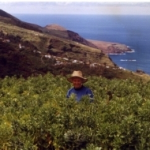
After yesterday's trip to the sea, today we were at the top of the island, at 2426 metres above sea level. It is where the observatories are located and is also the rim of the mighty Caldera, the largest erosion crater in the world. I blipped the view to the south last week when we were up there.
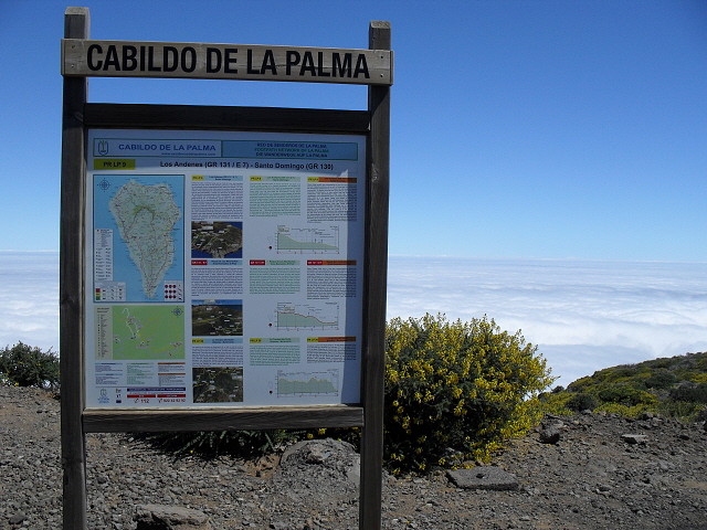
Looking at the map board, you can more or less the red squiggly line which runs round the perimiter of the island. That's the GR130 which takes approx. 8 days to walk. Or there is the GR131 which takes 3 days. That is the walking stick shape in the middle of the island.
To the right of the map board you can see the 'sea of clouds' which are at approx 1,000 metres.
The reason for our visit to the top today was to take a Dutch couple up in the Land Rover. They will walk back down to the finca which will take them right through the clouds.
219
views
- 0
- 0
- Samsung ES55,ES57 / VLUU ES55 / Samsung SL102
- f/8.4
- 6mm
- 5536
Comments
Sign in or get an account to comment.


