M is for....
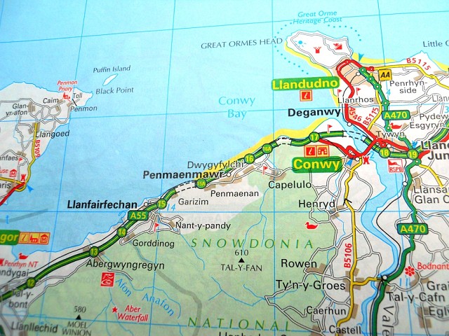
M is for Maps!
When you're doing the amount of travelling that I'm doing this week, you need to know where you're going. Now yes I do use a SatNav, but I still like to look at the map as well to have a sense of where I'm going, what roads I will be using, the layout of the roads etc. I think Map Reading is a dying art, unless you're used to it for walking or whatever and I think that's a shame.
A fine example today of our reliance on technology and the dangers of when it goes wrong, was when I was in Runcorn and my SatNav went funny on me and was saying I was on the wrong road, but I knew I was ok because I'd looked at the map before I set off. One piece of technology which I've found useful when your SatNav goes awry is the old iPad, the electronic maps on that and your ability to switch to Google Earth means you can pinpoint your location and search for your destination immediately.
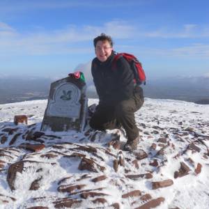
With the walking I'm going to be doing over the next few months, map reading is a vital skill. Walking on the Brecon Beacons needs to be taken seriously, so using a map to look at the lay of the land, the features etc are vital because it can help you get out of trouble.
Maps are cool!
My UK Tour continues starting off in Leeds today I made my away across the Pennines to Wigan and Runcorn, and then across North Wales to Penmaenmawr (Snowdon was within touching distance). My final stop today is the borders of Scotland. With the weather so bad I wasn't able to take any decent snaps.
P.S. Thanks to Ordnance Survey!
Comments
Sign in or get an account to comment.


