Recreational Land Surveying
I've just invented that term.
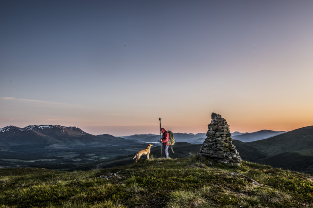
We returned to Bohuntin Hill tonight with a very heavy rucksack. I do a calendar each year for our work to hand out to clients. I always struggle for a suitable cover page and I want to get across what it is we do this time. Its not all walking the dog.
After all the effort of getting the gear up here I took dozens of shots and I haven't looked at them all yet or had them developed.
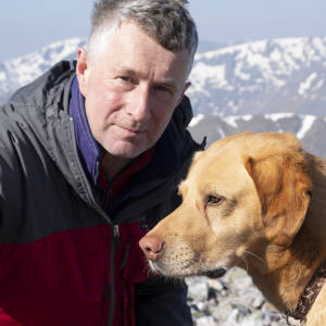
Caley has obviously got to feature too. I actually had the device fired up and working. It was getting an RTK correction over 2G mobile internet; which means it was able to record valid real time measurements. The OS map shows a spot height of 567 at this cairn. We measured 567.2. Of more note the ground level at the small cairn about a 100 yards from here is actually slightly higher again but that is not indicated on the map.
Comments
Sign in or get an account to comment.


