
Geleenbeek
The Geleenbeek rises source at 120 meters above sea level in Benzenrade in Heerlen.
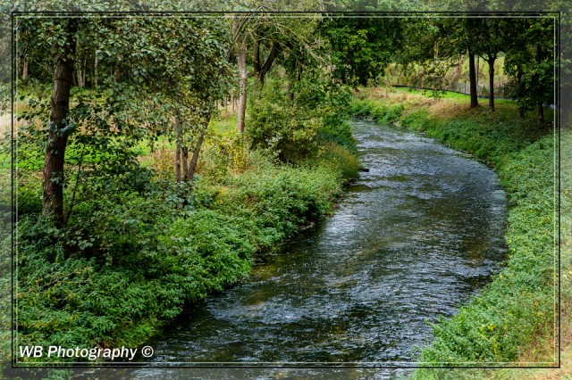
This source is located in the basement of the Benzenraderhof, a farm already mentioned in 13th century archives, which stands on Roman foundations. The catchment area of the Geleenbeek includes about 170km waterway and is the largest river basin in the Water Board Roer and Overmaas. In the catchment area is 143 kilometers stream with a general ecological function. The Geleenbeek runs partly through the hilly and partly by the highly urbanized area of Heerlen and Sittard Geleen. Through the center of Sittard, the river branches into the dropping Brook and Jean, dug a branch. After Sittard Yellow Brook leaves the strong hilly landscape of South Limburg to continue its course through Susteren by becoming flatter landscape to the north. Through a diver it flows at Real under the A2 motorway and the Juliana Canal through. Then she called Oude Maas. Through a former longtime Maastak flowed the stream earlier than even the old Maas west of the "Island in the Maas" to culminate in the Meuse north of the hamlet Fire at Stevensweert. Currently the creek north of Ohe en Laak flows through the former gravel pits to the river.
211
views
- 1
- 0
- Canon EOS 5D Mark III
- 1/25
- f/8.0
- 70mm
- 100
Comments
Sign in or get an account to comment.


