
Kent Gorge
The River Kent in its short 20 mile length is full of interest.
It rises in the south eastern fells of the Lake District National Park. Flowing down through Kentdale it flows through the centre of the town of Kendal then south through a limestone gorge and into the Kent Estuary. Finally it comes out into Morecambe Bay and the Irish Sea.
In December 2015 it suffered its worst recorded floods, swept away bridges and caused devastating damage, especially in Kendal.
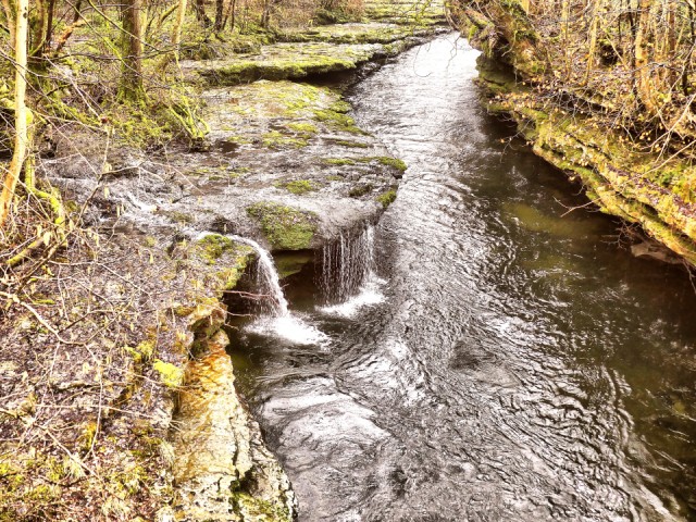
South of Kendal it flows though a narrow limestone gorge part of which is shown in todays shot. You can see how it has undercut the rock. It is very deep here and in times of heavy rain is very fast flowing.
Wooden "ladders" have been built here to help salmon climb the river to their spawning grounds.
Comments
Sign in or get an account to comment.


