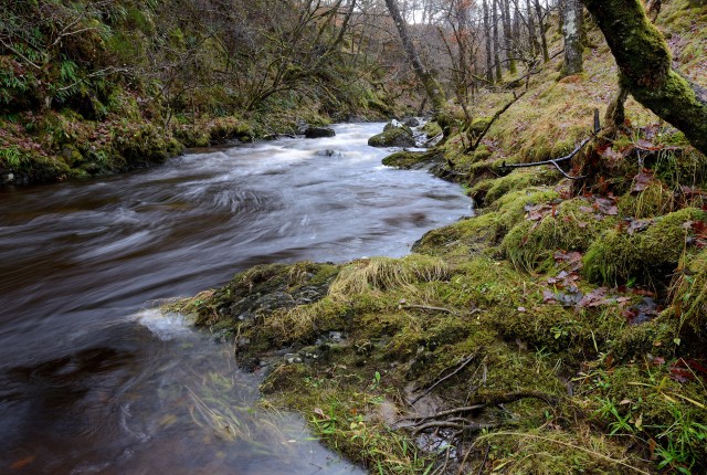
Allt Ionndrainn
Well it was wet right enough but not nearly so moist as the weatherman had predicted and after recent jaunts to far flung corners it was fine to have a job nearer to home.
I went down the bank at lunch time to take this shot of the Allt Ionndrainn near its confluence with the River Roy. This burn and its upper tributaries drain the slopes around Bohintin Hill and the east side of Coire Ceirsle Hill (what I would call the Stronaba Hill).
When you study the OS map of this area you can see this is real "parallel road" country and Bohuntin hill is fully enclosed by the one following the 261 contour. This steep sided little mountain would therefore have existed as an island rising from the icy reservoir around it. That's my entirely un-expert view from a 10 second glance at the map.
It can't go without mention that this is of course Padstowbabe's little corner of Lochaber and I felt like a blip poacher taking this shot on PSB's patch. You can take one at the Knoll next time you are along.
Comments
Sign in or get an account to comment.


