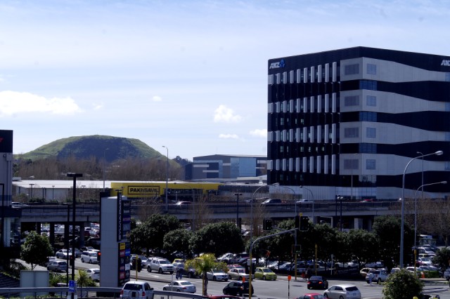
Maungarei
Only Rangitoto in the Auckland field is more recent than this volcano. It is the tallest Auckland volcano (from base to crest) at 100 m high.
Maungarei is the Maori name, translating as “The watchful mountain”. It also means “the mountain (maunga) of Reipue”, who was a Tainui ancestress who travelled to Northland in the form of a bird. The colonial surveyor, Felton Mathew, named it Mount Wellington, in honour of the Duke of Wellington.
It is an important archaeological site, showing terraced whare (house) sites and food storage pits. The crater rim has three strongpoints defended by transverse ditches. Some of the features of the volcano (fortunately recorded by Austrian geologist Ferdinand Hochstetter in an 1864 publication) were removed by extensive quarrying. The scooped out shadow in my photo shows the massive extent of quarrying, which continued from the 1850s until 1967.
Quarrying also took place in one of the major lava flows, ceasing only in 2008. Since 2011, the giant hole has been transformed into a new suburban subdivision called Stonefields.
A water reservoir occupies most of the northern crater, and has a turf and grass cover over the concrete roof. That is now used as a sports field. A road has been built up to the summit with a car park.
This is the 18th Auckland volcano included in my series, and only the third not in Central Auckland, in the harbour and gulf, or on the North Shore.
Comments
Sign in or get an account to comment.


