
blip map
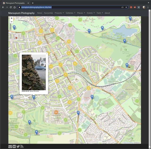
I finally got around to finishing the interactive map of all my geotagged blip entries. I use a python script to update a geo-json file containing all geotagged entries. The geo-json file gets downloaded by your browser when you visit the map and displayed using the javascript library leaflet. It also uses a php script to download the latest entries that are not yet in the geo-json file. It's actually quite nice to explore your own journal by location.
Anyway, if you are curious you can find the map of my entries on marsupium.photography.
Comments
Sign in or get an account to comment.


