
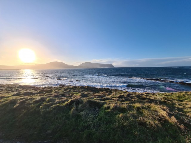
Clear skies
Clear blue skies this afternoon.
EXTRAS: Continuing my walk
CIRCULAR WALK - SOUTH STROMNESS: PART TWO
09 At the turn in this lane there is a pretty house and garden. This photo was taken earlier in the year, there's nothing green here at the moment.
10 The path takes us out onto the main road where we see this sign to guide us to the Viewpoint.
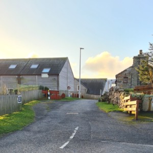
11 We walk between houses until ...
12 ... we see the footpath sign at the end of the road.
It takes us to :
The Pilot’s Look-Out
This granite outcrop has served as a look-out for local pilots in centuries past. Shortly before WW1, a 32-pounder gun was moved here by Stromness Town Council as a landmark, and in WW2 a light anti-aircraft gun was positioned here.
During the 18th and 19th centuries, merchant shipping favoured the northern route around Britain to avoid the war-torn English Channel. This became particularly important during the Napoleonic Wars when vital shipbuilding materials were being imported from Baltic and Scandinavian states. Convoys of up to 100 ships would assemble in Scapa Flow, awaiting Naval escorts.
The local pilots would sail out to meet the ships and help guide them through the strong tides of the Pentland Firth. By 1821, 26 licensed pilots operated from Stromness, the largest concentration of pilots in any Scottish port.
Stromness also became an important port of call for the Hudson’s Bay Company, whose ships would take on provisions and recruit men to work for the Company in Canada. At one point, almost three-quarters of the personnel of the Hudson’s Bay Company were Orcadian.
(This text was copied from the sign at the viewpoint)
13 From the viewpoint here we can see 'The Holms', tiny islands on the left.
14 Straight ahead we look towards the Hoy High Lighthouse.
15 To the right are the WW2 army barracks and over to Hoy Sound


Comments
Sign in or get an account to comment.


