
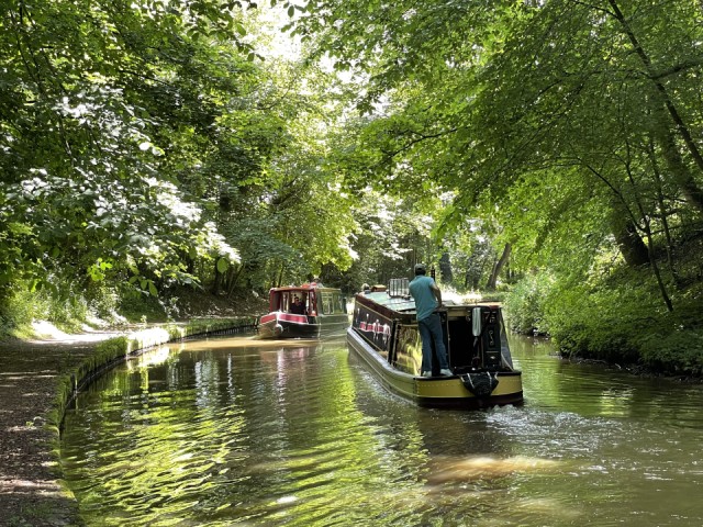
Llangollen Canal to the east of Ellesmere
What a glorious summer’s day. We only used the boat for about an hour this evening to fill up with water and turn around to face Chirk. That was a feat, successfully accomplished, a three point turn in a narrowboat with lots of onlookers all with a grandstand view.
Instead of cruising we walked over 11 miles along the canal towpath, past Blake Mere and Cole Mere then over rolling North Shropshire countryside back to Ellesmere and a welcome ice cream and a drink at each of two town pubs. We, of course, had a coffee and a scone before setting off.
It was particularly memorable walking around Cole Mere as it was there we went sailing when I was at school. So it’s been 50 years since I last visited the mere. The memories kept flooding back.
This part of the county is known as the Shropshire Lake District, dotted as it is with many lake or meres and boggy areas called mosses. Geologically, the meres are kettle holes formed at the end of the last ice age when enormous blocks of ice were covered in boulder clay by meltwaters.
When the ice blocks finally melted the clay lined depressions filled with water to create the meres. One of the meres is called Kettle Mere.
The canal and its towpath meandered alongside Blake Mere and Cole Mere giving lovely views of both. From the return path there were clear views of the Welsh hills to the north.
Tomorrow we’re planning see Ellesmere market then motor to Frankton Junction where this canal meets the Montgomery Canal. We shan’t be taking the boat along that canal but will walk as much of it as we can as it it supposed to be a wildlife haven.
Comments
Sign in or get an account to comment.


