
Mapping the route
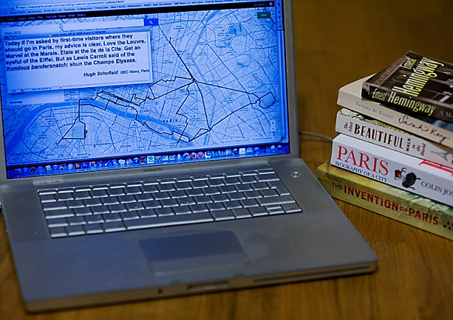
Two weeks ago we were in Paris. And we went everywhere on foot, from the moment we got off the Eurostar on the Friday afternoon until we got back on it again on Monday lunchtime. Irritatingly the new google maps route-drawing software doesn't seem to show you the distance travelled but I think it was somewhere around 22-23 miles altogether, as represented by the thick black line on the screen.
Walking everywhere worked well at keeping the relative locations of different places clear in our heads. And in fact the time we spent in London beforehand was also mostly done on foot too - only L's trip out to the O2 and back to see FM was done by tube, everything else was "shanks' pony".
To the right of my laptop is a pile of books about Paris that I hope to use in writing my long-planned book. And also on the screen, a quote I found today on the BBC website at the end of an article criticising the Champs Elysees and extolling the virtues of other locations in central Paris - all of which we did see, while all we saw of the most famous street in Paris was the view from the Place de la Concorde.
Comments
Sign in or get an account to comment.


