Caledonian Canal
A day late posting again and yesterday (Saturday) is already a bit of a blur.
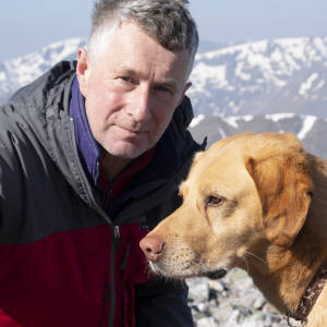
Mrs SJR was helping out at the Roy Bridge School coffee morning and it was a successful event once again. Mean time I took Caley for a walk from the house over Maol Ruadh and onwards exploring a possible new walk. On the map and on Google Earth it looked viable; a clearing in the forest along side a burn.It didn’t live up to expectations and was quite unpleasant walking. The burn for much of its length exists in a steep sided gorge which itself is deeply incised by other in coming streams. To avoid this difficulty you would normally hold a higher line away from the steepest part of the valley. Unfortunately going higher takes you into solid barriers of windblown commercial Sitka. The route is not one to add to the list.
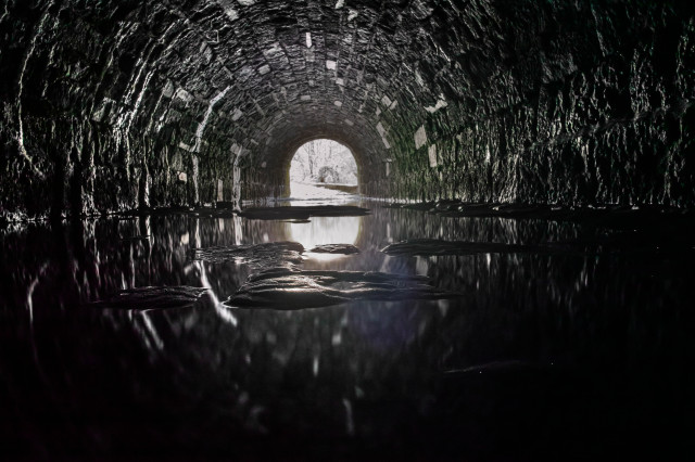
Mrs SJR fancied a wee run late PM. She has often complained about nearby jogging routes which lack natural circuits and have annoying 180 degree turns up wee side roads simply to notch up the required miles. I suggested going to the canal somewhere between Banavie and Gairlochy and then running in one direction to a meeting point with Caley and myself. We went under the canal where the River Loy also passes below, emerged on the tow path (there is only a two path on the south bank here hence the need to cross the canal). Having interrogated it on Google Earth I had reckoned that 5km would take Mrs SJR to the wee lighthouse looking on to Loch Lochy. It worked perfectly.
There were dozens of blip options yesterday but I have gone with this, the canal underpass, taken after Mrs SJR had set off east. I used just the compact and didn’t have my tripod either.
Comments
Sign in or get an account to comment.


