
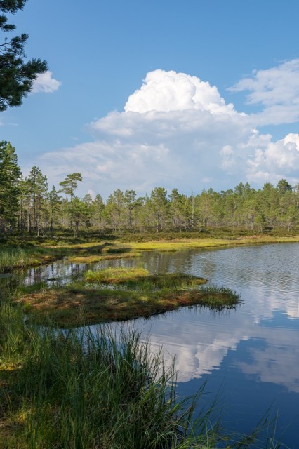
Thunder Cloud
We bought some training maps and went out to see how the terrain was mapped so we might have a chance once the Oringen started on Sunday. The training area was completely covered in rock and it seemed to mapped quite differently from at home. We managed to work out that often bare rock was mapped as open ground and also that unless a rock feature was significant it wasn’t mapped at all. It was instructive and somewhat sobering. As it has been so dry there really weren’t any seasonal marshes and only wee lochans like the one in the blip have survived. We went to another coastal area in the afternoon and sweltered in the sun whilst there was a sharp shower at the campsite. At least it kept the dust down.
Comments
Sign in or get an account to comment.


