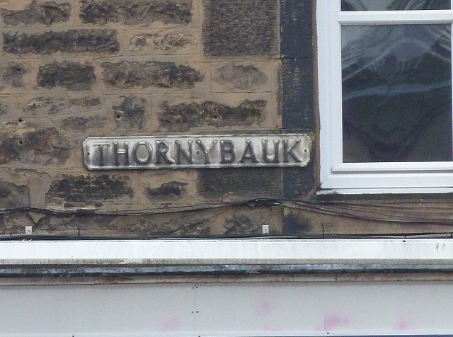
Thornybauk
Defined as 'a ridge covered with thorns, long unploughed and untouched', Thornybauk appears on the Ainslie 1804 city map, running between Fountainbridge and Lochrin (now Home Street, the main route south). The street also appears on the 1784 map by Kincaid, marked as Lochrin, and leads between Fountainbridge and the 'road to Peebles', fewer buidings marked and more open land.
Tollcross is a fully built-up area now and the continuity of Thornybauk is fragmented. Curiously, it appears to be Thornybauk on the north side and Lochrin Terrace on the south side. It has a dedicated contra-flow fire lane to allow fire appliances access from the fire station to Home Street.
Comments
Sign in or get an account to comment.


