Napfgebiet
After a great nights sleep at the Bergrestaurant Ahorn, we missed the sunrise, shame because the window looked out over it to the Alps where it rose. Had a little walk around outside before a lovely breakfast. We packed up, then Mr S left in the car home, so he could do a night camping skitouring trip at Realp.
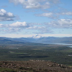
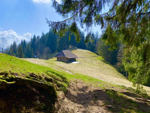
I set out on the high level path toward Napf summit at 1406m. It was very warm and sunny, and after an hour, I stopped for a break for sun cream and water. The path was just fantastic, varying between forest, open pasture land, studded with great little farms, all the time with breathtaking views of the Bernese Alps.
There were still a lot of snowdrifts over 1000m, but they were melting fast, with fast flowing little streams taking over in places. I didn’t had good satellite reception on the phone, and made a mistake, missed a major turn left to the Napf. I only realized 30 mins later, when I saw the sign pointing me back. I had to restart the phone to find out where I was again. I decided to carry on, hoping to get a bus back to civilization at Luderenalp which was 1.5 hours away.
When I got reception on the phone, I realized there would be no bus from there, so then calculated my best route would be to Trub, still 2 hr30 mins away. From that point I never saw a single person until the bus stop at Trub. Just unbelievable, such wonderful paths, staying close to the ridge with so much up and down, through forest and hidden dales.
19 km, 6 hours walking, 33,000 steps, 600m up and 1000m down.
122
views
- 24
- 1
Comments
Sign in or get an account to comment.


