A bit of wall
As we had walked along actual Roman road at Lady’s Well a few days ago, we were curious about this road - Dere Street, which went from York to Corbridge and to Melrose in the Scottish Borders. On our way home we detoured to find Bremenium Roman Fort which lay along Dere Street to the west of Lady’s Well.
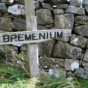
We went up a narrow lane to High Rochester, which is (obviously) above Rochester in the Northumberland National Park. Eventually we found a makeshift sign (see extra) by the side of the road and, using the OS map, figured that the wall on the left must be it. There is no other sign or information, although there is a footpath all the way round the outside. The road goes though the middle of the fort and there are a few houses and other buildings scattered around the 5 acre site where the fort was.
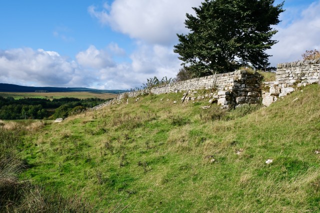
Bremenium was an important outpost and garrison located beyond Hadrian’s Wall, in fact it was the most northern base in the entire Roman Empire. It was built on a dramatic spot, on a high ridge, with a strategic view over the Rede Valley. It was actually in enemy territory as a sort of early warning system. It was occupied for over 200 years.
Very little of the fort remains today, much of the stone has been plundered for building over the years and there has been virtually no excavation of the site. The West wall is best preserved and that’s what you can see in the photo. It is a 9 ft high banking with stone facing. One of the original gates is also in the picture.
Comments
Sign in or get an account to comment.


