Glen Turret
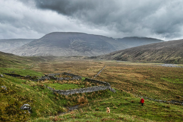
We set off in the car for Caley’s walk without having decided on our destination. Left or right at the road; left, then in to the village; left, up the Bohuntin and Brae Roy road. We were going up past Brae Roy. Instead of our usual route continuing up the side of the River Roy we cut north after Turret Bridge in to the Glen of the same name. The trails in this glen are more of the trodden variety and there is much more of a wilderness feel to the place. There are signs of human occupation however; two sad ruins with just chimney stacks left standing in isolation and old dry stone walled sheep fanks.
The parallel road tide lines of Glen Roy swing round on to this valley too and the floor has tell tale glacial and fluvial debris.
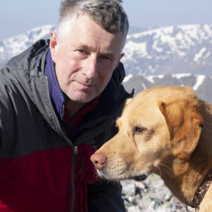
It rained on us for much of the time but it was still a beautiful walk. Caley must have burned 2000 calories and got his ball safely back to the car too.
Sometime in the last 10,000 years there has been a catastrophic land slippage on the south flank of Glen Roy. If you go large you can see the bulge of the slippage which has obliterated the 10,000 year old shore lines, (my amateur logic for putting a time scale to it) and the steep faced scar where the hillside has failed in shear at the top of the slip.
It is very prominent in Google Earth and I have just estimated its surface area, about 12 hectares. If you assumed an average depth of about 4m that takes you to about 0.5 million cubic metres, roughly a million tonnes of hillside which has moved by the force of nature.
Comments
Sign in or get an account to comment.


